Gyeongju : les meilleurs lieux en plein air
Quand il fait beau, sortez ! Voici les meilleurs lieux extérieurs de Gyeongju.
Météo à Gyeongju : 흐리고 비, max 25° / min 17°. Beau temps, idéal pour les lieux extérieurs et la nature. Sélection ci-dessous avec tenue « Doux-chaud », 8 lieux et à-côtés.
🌧️
Gyeongju · sam. 26 sept. · prévisions
흐리고 비
25° / 17°C
🌳Idéal pour sortir
Indice climatique touristique (KMA)Modéré
👕 Que porter — Doux-chaud
T-shirt
Pantalon
Casquette
📈 Prévision d’affluence pour votre journée
Décalez les lieux bondés ou choisissez les plus calmes.
🔴 Probablement bondé
- 경주 동부 사적지대Bondé98%
- 경주 보문관광단지Bondé94%
- 경주 교촌마을Bondé93%
- 경주 동궁원Bondé92%
🟢 Probablement calme
- 건천편백나무숲Modéré63%
- 경주 무열왕릉, 태종무열왕릉비Modéré64%
- 경상북도 산림환경연구원Modéré64%
Source : ⓒ Korea Tourism Organization
📍 Gyeongju: 8 🌳 lieux
🧭 Itinéraire suggéré (par proximité)
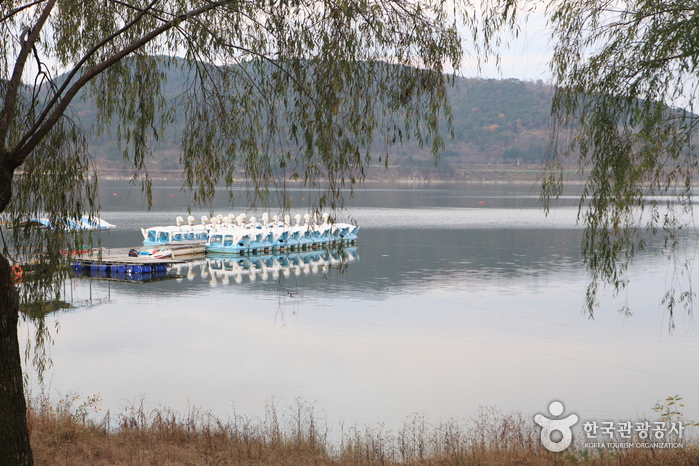 🌅 Matin1. Lac Bomunho (보문호)424-33, Bomun-ro, Gyeongju-si, Gyeongsangbuk-do🗺️ Google Maps🚇 transport · 6.2km
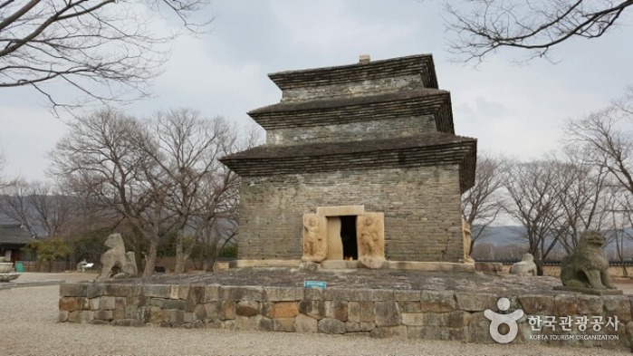 🌅 Matin2. Temple Bunhwangsa (분황사)94-11, Bunhwang-ro, Gyeongju-si, Gyeongsangbuk-do🗺️ Google Maps🚇 transport · 1.6km
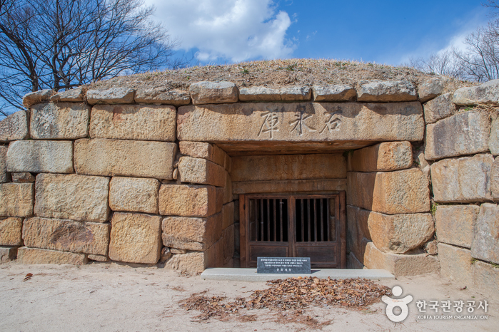 🌅 Matin3. Seokbinggo (석빙고)449-1, Inwang-dong, Gyeongju-si, Gyeongsangbuk-do🗺️ Google Maps🚶 à pied 11 min · 0.9km
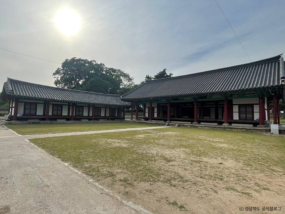 ☀️ Après-midi4. École confucéenne de Gyeongju (경주향교)27-20, Gyochon-an-gil, Gyodong, Gyeongju, Gyeongsangbuk-do🗺️ Google Maps🚇 transport · 1.3km
![Zones historiques de Gyeongju [Patrimoine mondial de l’UNESCO] (경주역사유적지구)](http://tong.visitkorea.or.kr/cms/resource/83/202783_image2_1.jpg) ☀️ Après-midi5. Zones historiques de Gyeongju [Patrimoine mondial de l’UNESCO] (경주역사유적지구)757, Taejong-ro, Gyeongju-si, Gyeongsangbuk-do🗺️ Google Maps🚇 transport · 34.7km
☀️ Après-midi5. Zones historiques de Gyeongju [Patrimoine mondial de l’UNESCO] (경주역사유적지구)757, Taejong-ro, Gyeongju-si, Gyeongsangbuk-do🗺️ Google Maps🚇 transport · 34.7km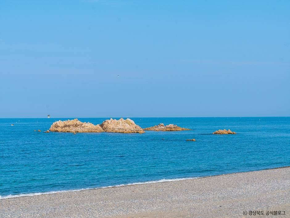 ☀️ Après-midi6. Tombe sous-marine du roi Munmu (경주 문무대왕릉)1366-9, Donghaean-ro, Gyeongju-si, Gyeongsangbuk-do🗺️ Google Maps🚶 à pied 2 min · 0.2km
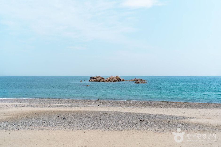 🌆 Soir7. Plage Bonggil Daewangam (봉길대왕암해변)Bonggilhaean-gil, Yangbuk-myeon, Gyeongju, Gyeongsangbuk-do🗺️ Google Maps🚇 transport · 7.3km
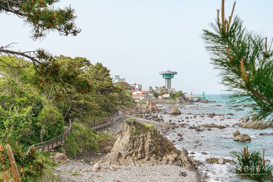 🌆 Soir8. Chemin du son des vagues (파도소리길)Eupcheon-ri, Yangnam-myeon, Gyeongju, Gyeongsangbuk-do🗺️ Google Maps
🍽️ Où manger à Gyeongju
- 🍽️
- 🍽️
- 🍽️
- 🍽️Boulangerie Jeongnyeon-ae: Pain Chaltbori et Tteok Chaltbori(천년애 경주빵 찰보리빵 찰보리떡)67, Cheomseong-ro, Gyeongju, Gyeongsangbuk-do, Corée du Sud🗺️ Map
Gyeongju · Autres thèmes
Autres villes · Jour ensoleillé
FAQ
Q. Intérieur ou extérieur à Gyeongju ce jour-là ?
Beau temps : lieux extérieurs et nature recommandés.
Q. Que porter à Gyeongju ?
Selon la météo (max 25° / min 17°), tenue « Doux-chaud » conseillée.
Q. Comment sont choisis les lieux ?
Météo KMA + particules AirKorea : pluie/neige ou air « mauvais »+ → intérieur, sinon extérieur. Lieux issus des données touristiques publiques coréennes.